 Image 1 of 1
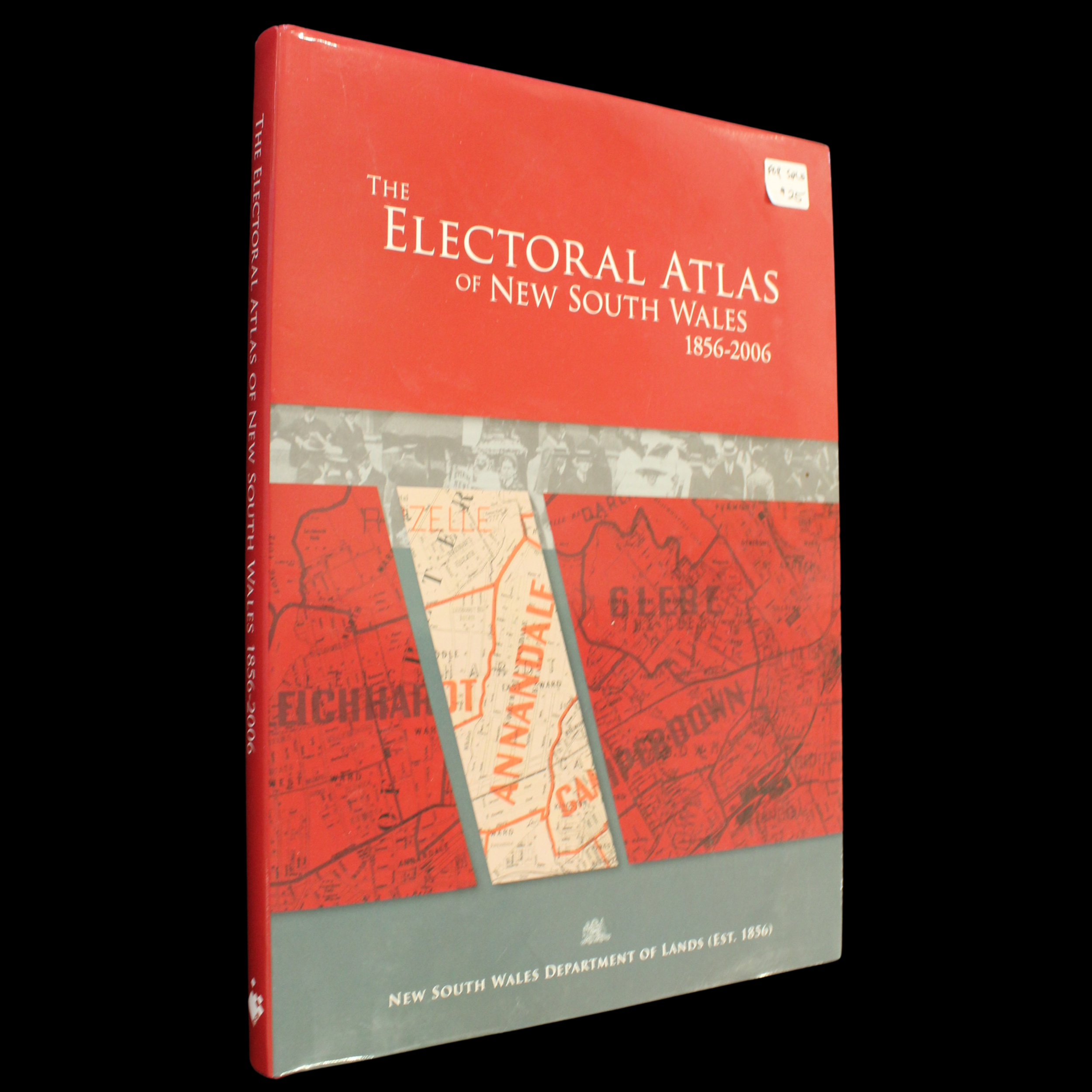
The atlas is a comprehensive compendium of New South Wales political history over 150 years. Electoral mapping is recreated from original sources and it documents voting systems and results since the introduction of responsible government in 1856. It also includes historical curiosities such as the Sydney Hamlets, the non-contiguous boroughs and the extensive pastoral districts of the 1850s, the multi-Members electorates of the 1880s and the experimental proportional representation of the 1920s, the maladjustments caused by country weightings and the emergence of one-vote, one-value electorates that we have today.
The atlas is a comprehensive compendium of New South Wales political history over 150 years. Electoral mapping is recreated from original sources and it documents voting systems and results since the introduction of responsible government in 1856. It also includes historical curiosities such as the Sydney Hamlets, the non-contiguous boroughs and the extensive pastoral districts of the 1850s, the multi-Members electorates of the 1880s and the experimental proportional representation of the 1920s, the maladjustments caused by country weightings and the emergence of one-vote, one-value electorates that we have today.